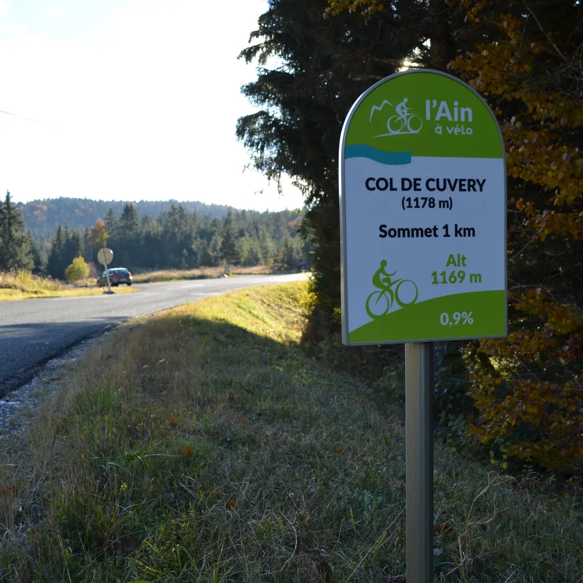
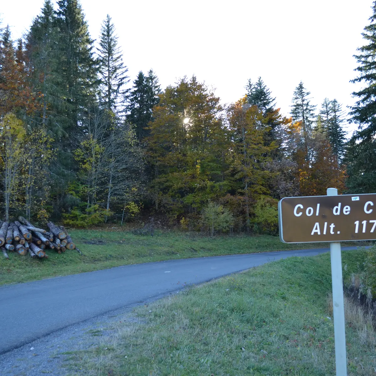
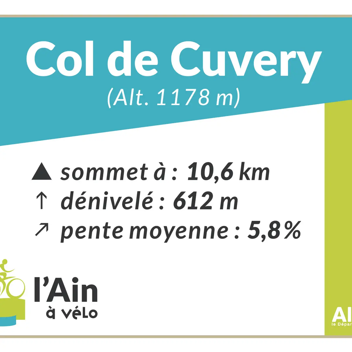
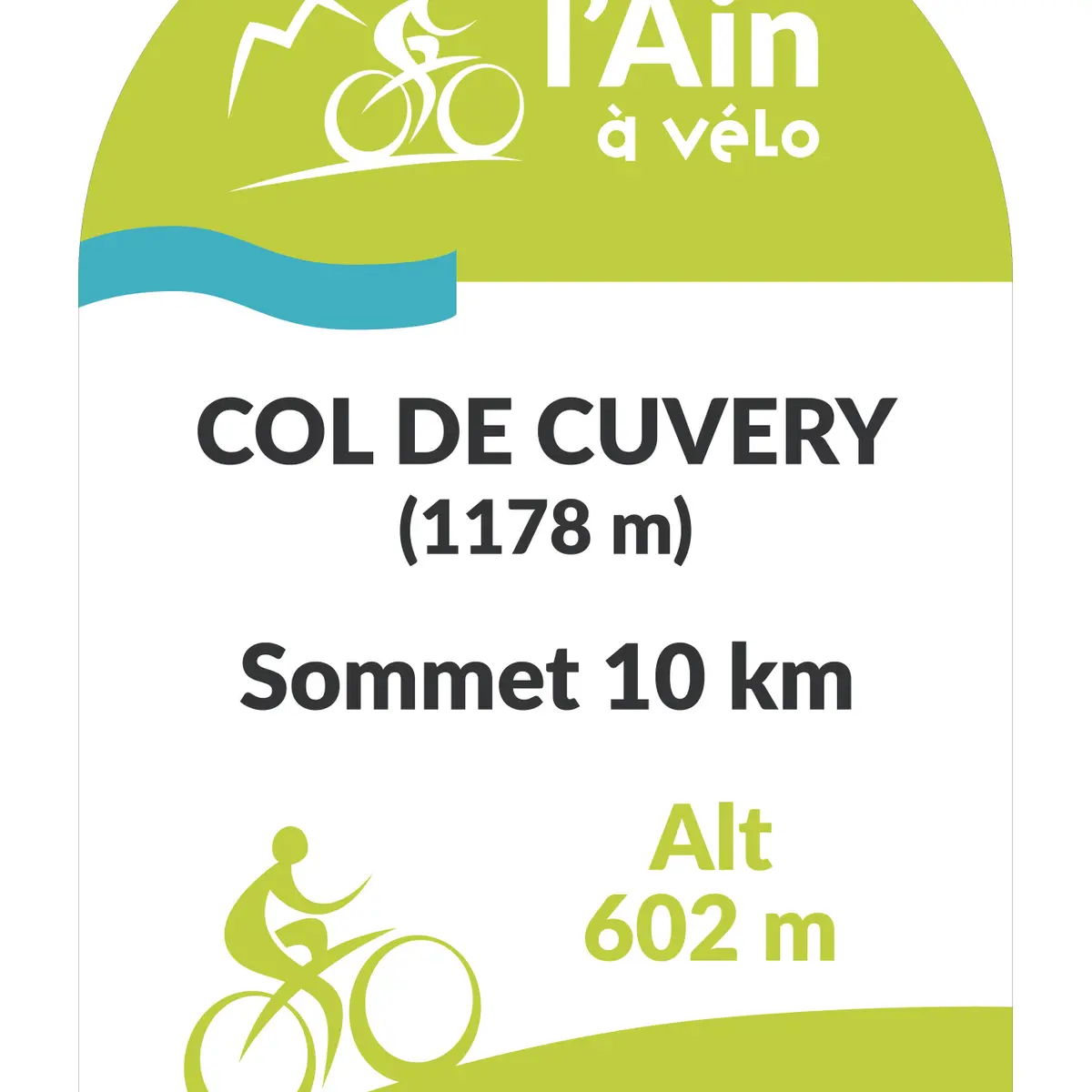
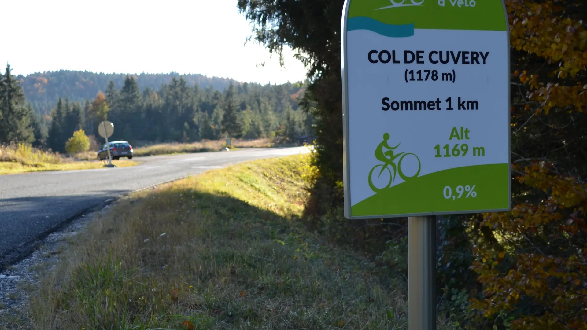
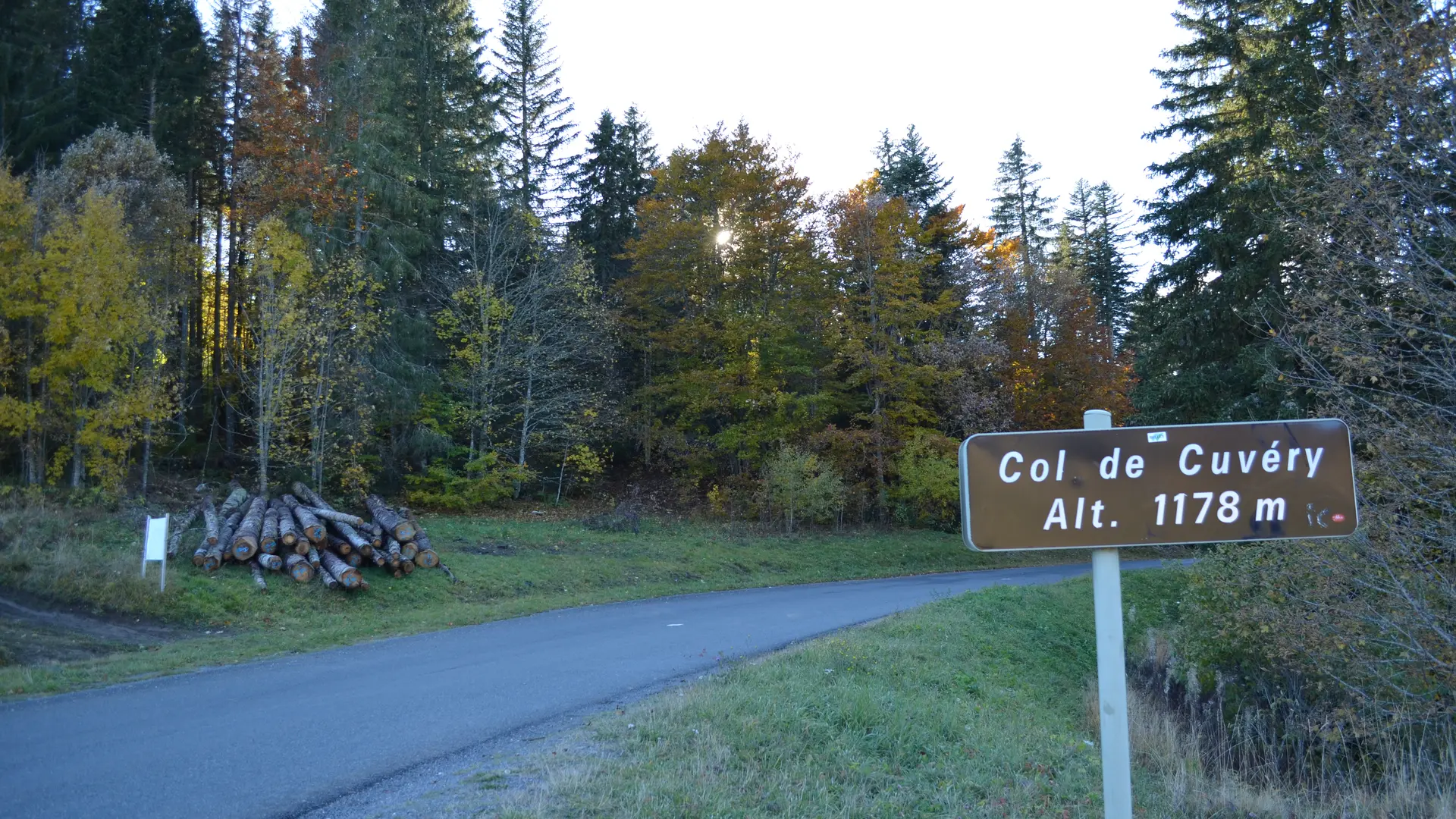
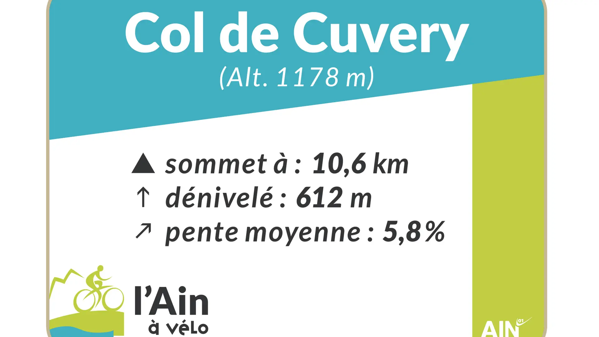
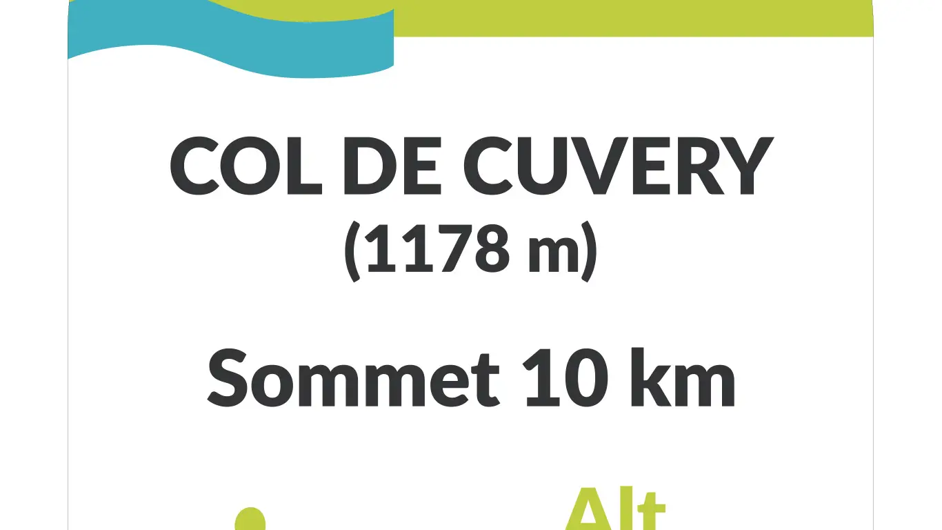
The Col de Cuvéry (1,178 m) from Vouvray (Valserhône, formerly Bellegarde/Valserine) links the Valserine valley to the Séran valley. Gentle ascent on a very even slope with no major difficulties (max. % 7.0%), with numerous forest passages, to reach a vast combe typical of the Jura relief, and ideal for Nordic activities in winter. An ideal route for exploring the Plateau de Retord, with magnificent views of the Alps from Catray. At the summit, there's a magnificent panorama of the Valserine valley, the Franco-Swiss Jura and Mont-Blanc. Junction with the Col de Bérentin after the descent towards Nantua.
Read more