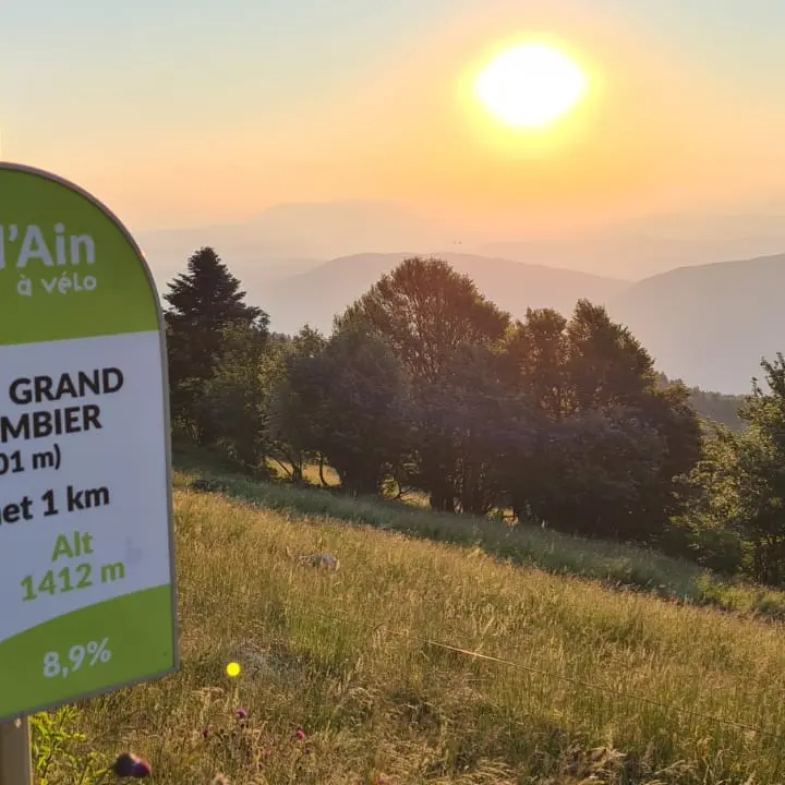
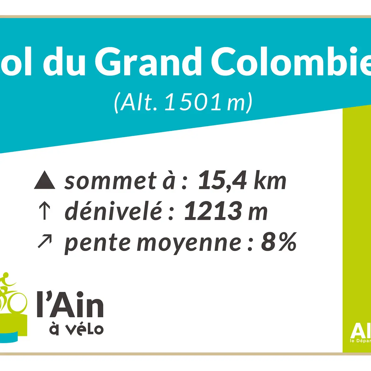
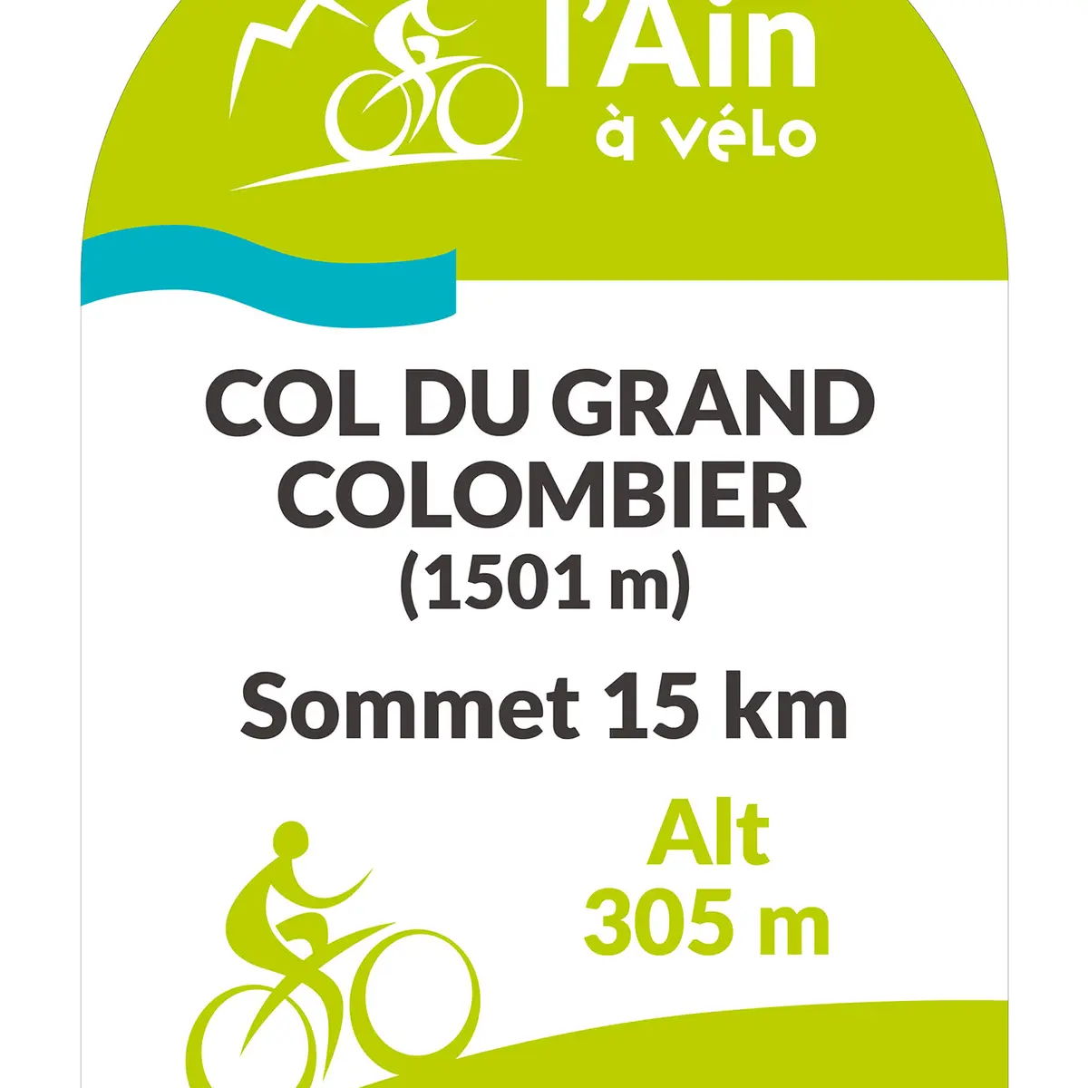
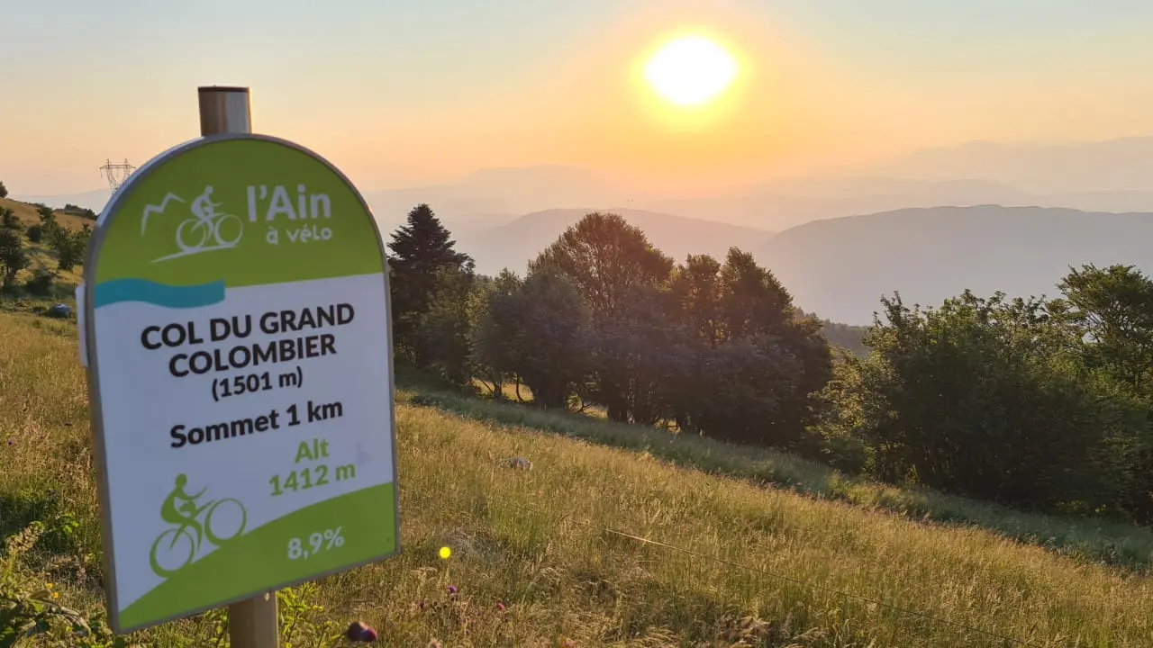
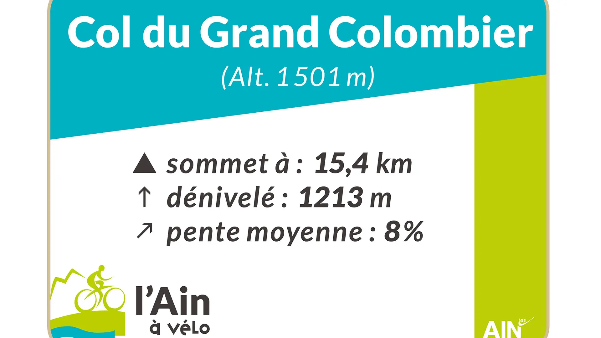
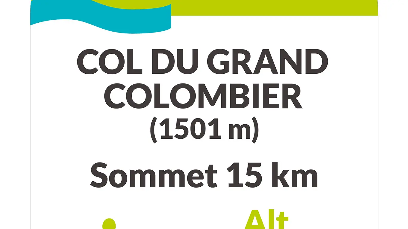
The Col du Grand Colombier (1501 m) from Anglefort totals 15.4 kilometers, with gradients of up to 14%. At an altitude of 878 m, the junction with the Culoz road offers a flat section of around 2 km at 3%, followed by a steady slope with some very difficult sections. The final kilometers from La Sapette (1,230 m) are generally less difficult.
In 2016, the 15th stage of the Tour de France (Bourg-en-Bresse - Culoz) took this route... downhill in a special configuration known as "lacets du Grand Colombier".
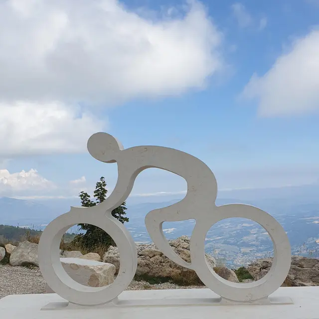
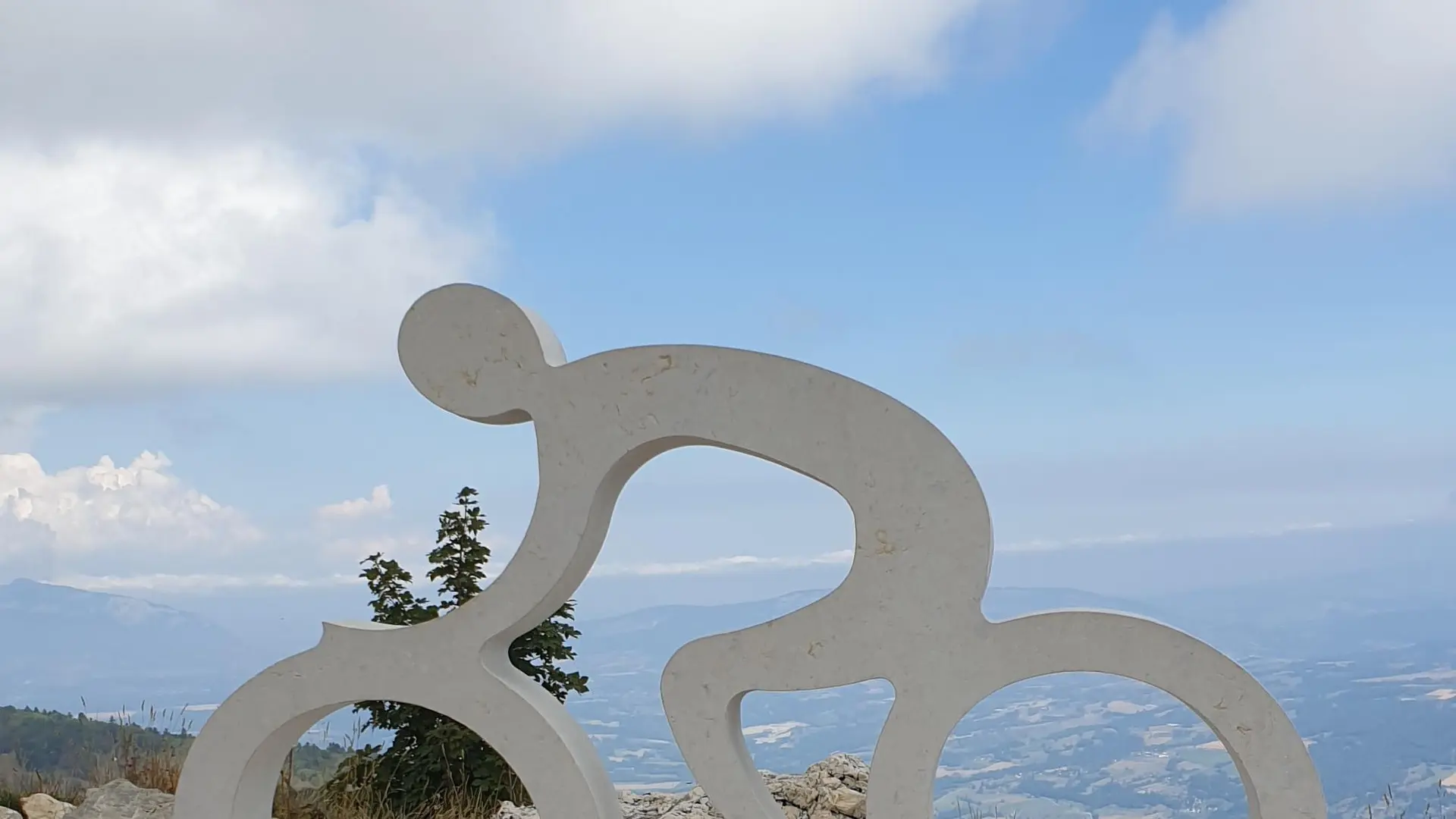
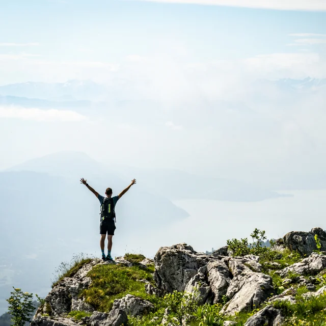
At the summit: 360° panoramic views of the Alps, Belledonne, Mont-Blanc, Bugey, Rhône and 3 Alpine lakes (Lac du Bourget, Lac d'Annecy and Lac du Léman).
Read more