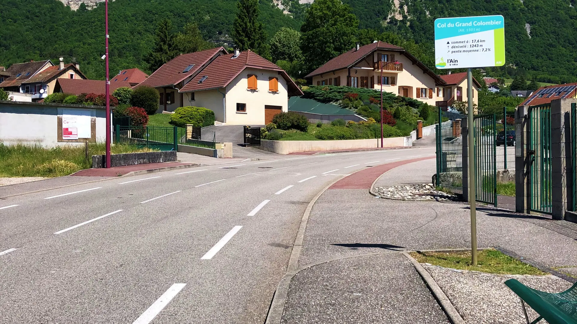
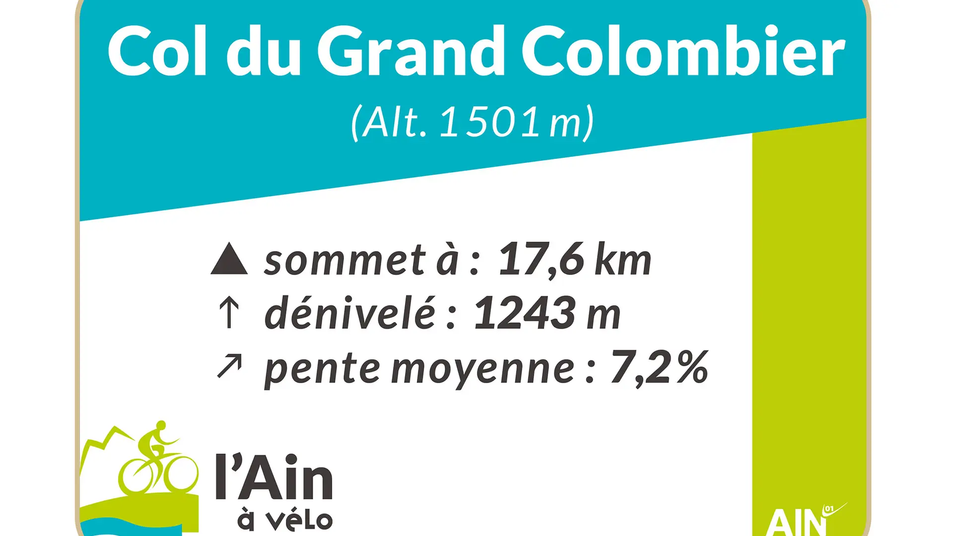
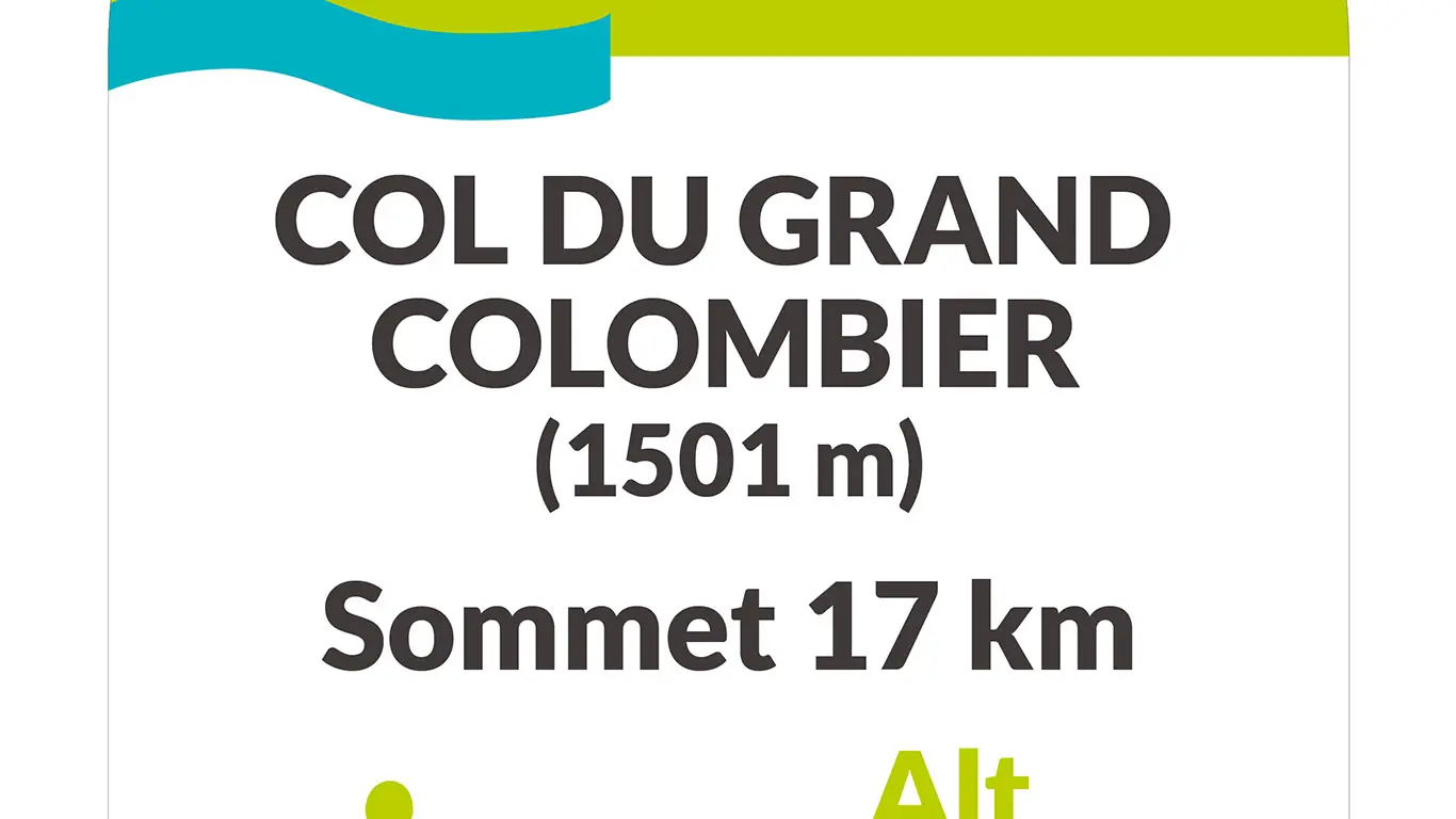
Discovered during the tenth stage of the 2012 Tour de France, the Col du Grand-Colombier (1501 m.) from Culoz, classified as a non-category climb, is considered by cyclists to be one of the most difficult in France (1,243 m vertical drop). For the record, it was Frenchman Thomas VOECKLER who was the first to reach the top of the pass in 2012, after a 17.6 km climb.
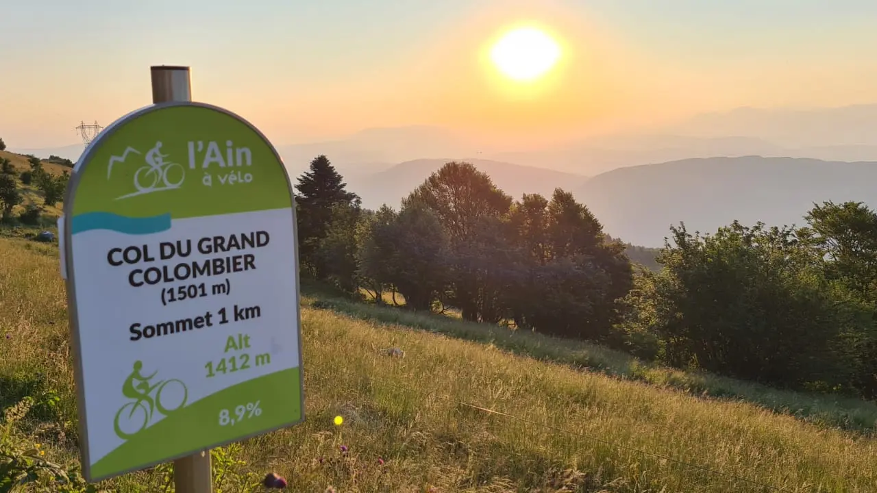
The first 9 km from Culoz (244 m.) feature a series of bends and a sustained gradient of over 10% (with one pass at 14%!). At an altitude of 878 m, the junction with the Route d'Anglefort offers a flat stretch of around 2 km at 3%, followed by a steady slope with some very difficult sections. The only relief here is the shade of the forest. The final kilometers, from La Sapette (1,230 m), are generally less difficult.
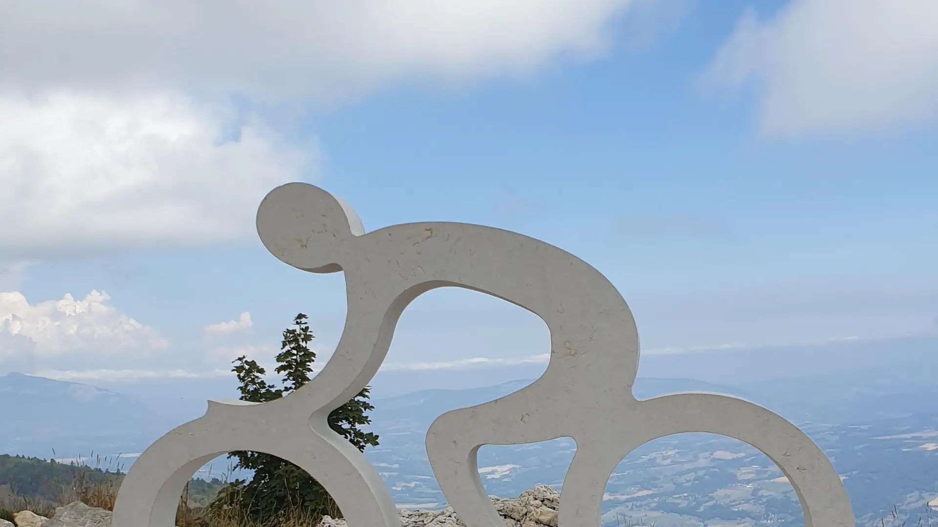
At the summit: 360° panoramic views of the Alps, Belledonne, Mont-Blanc, Bugey, Rhône and 3 Alpine lakes (Lac du Bourget, Lac d'Annecy and Lac du Léman).
Read more