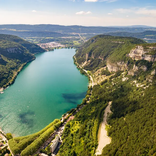
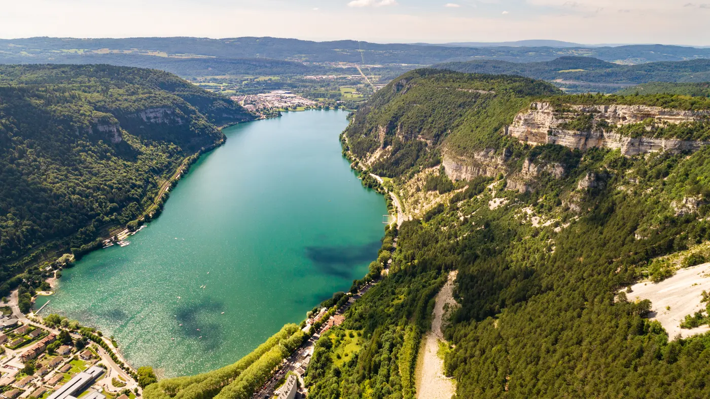
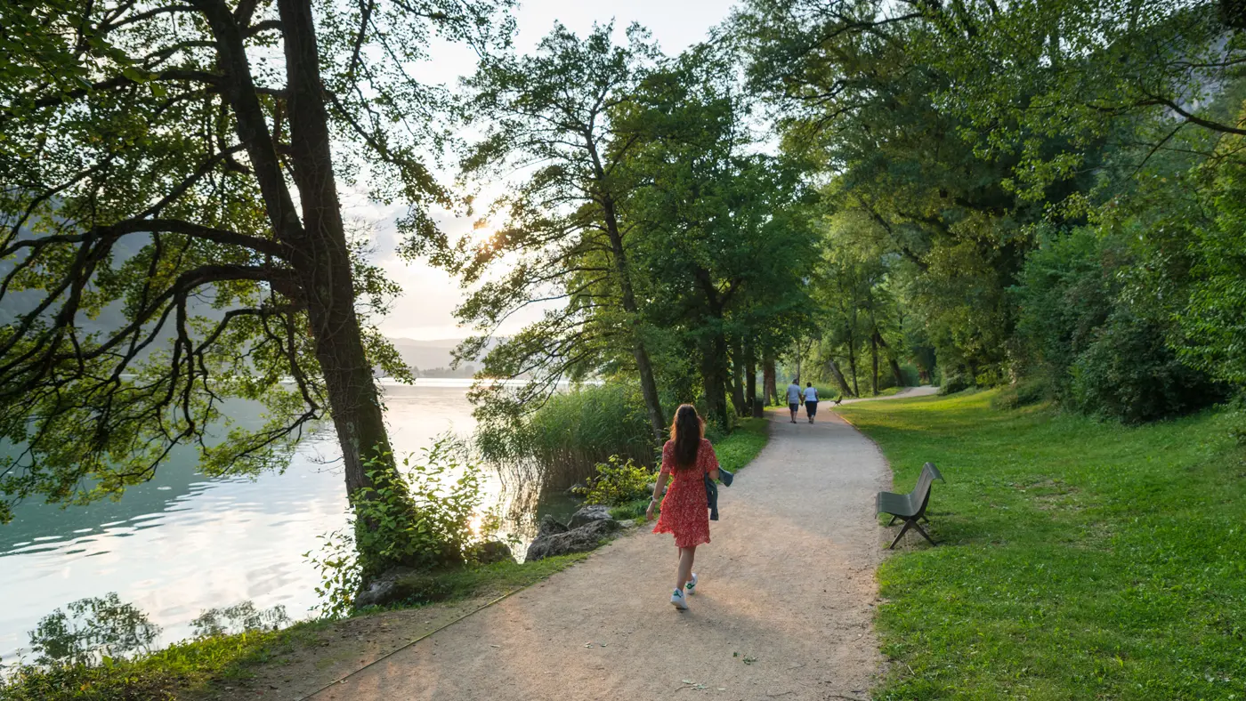
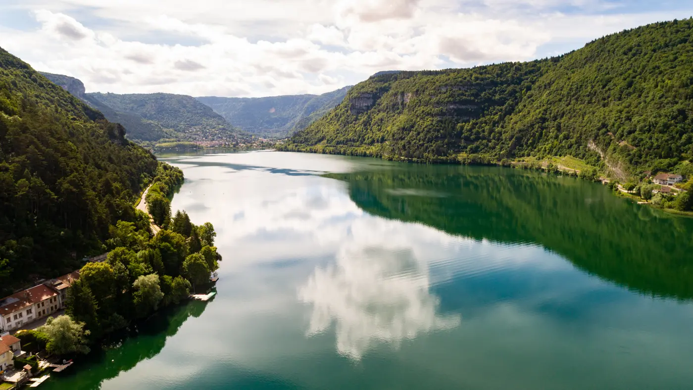
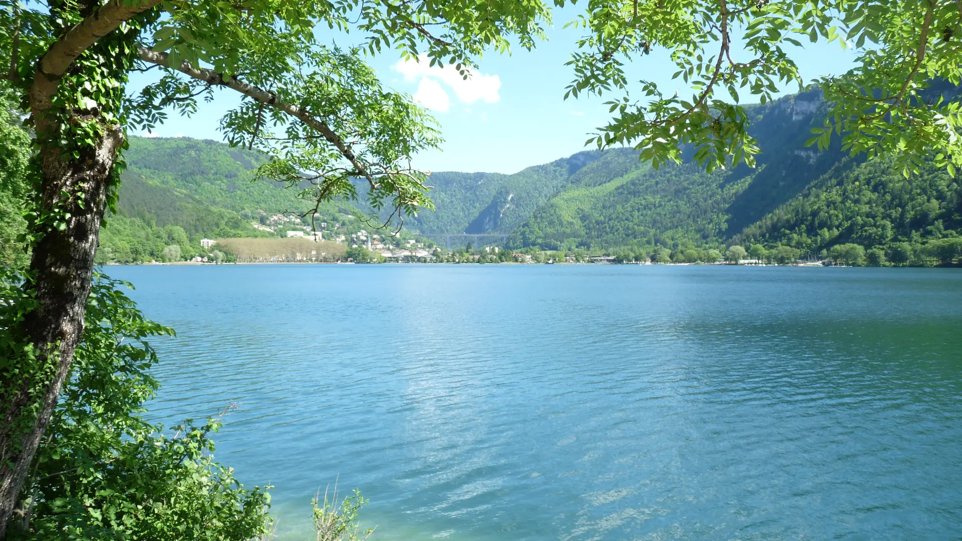
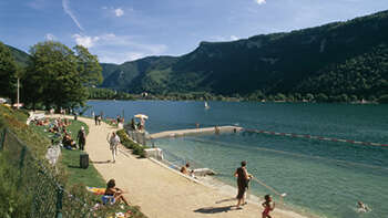
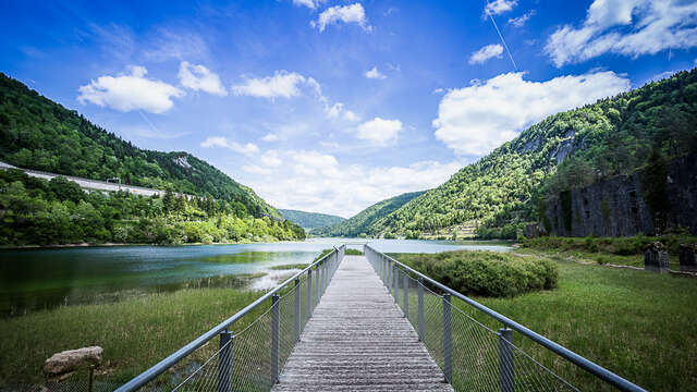
Different with each season, this large glacier-origin lake, surrounded by high limestone cliffs, offers a magnificent spot for relaxation and recreation. It can be enjoyed on foot or by bike along the lakeside trail and offers a variety of water activities.
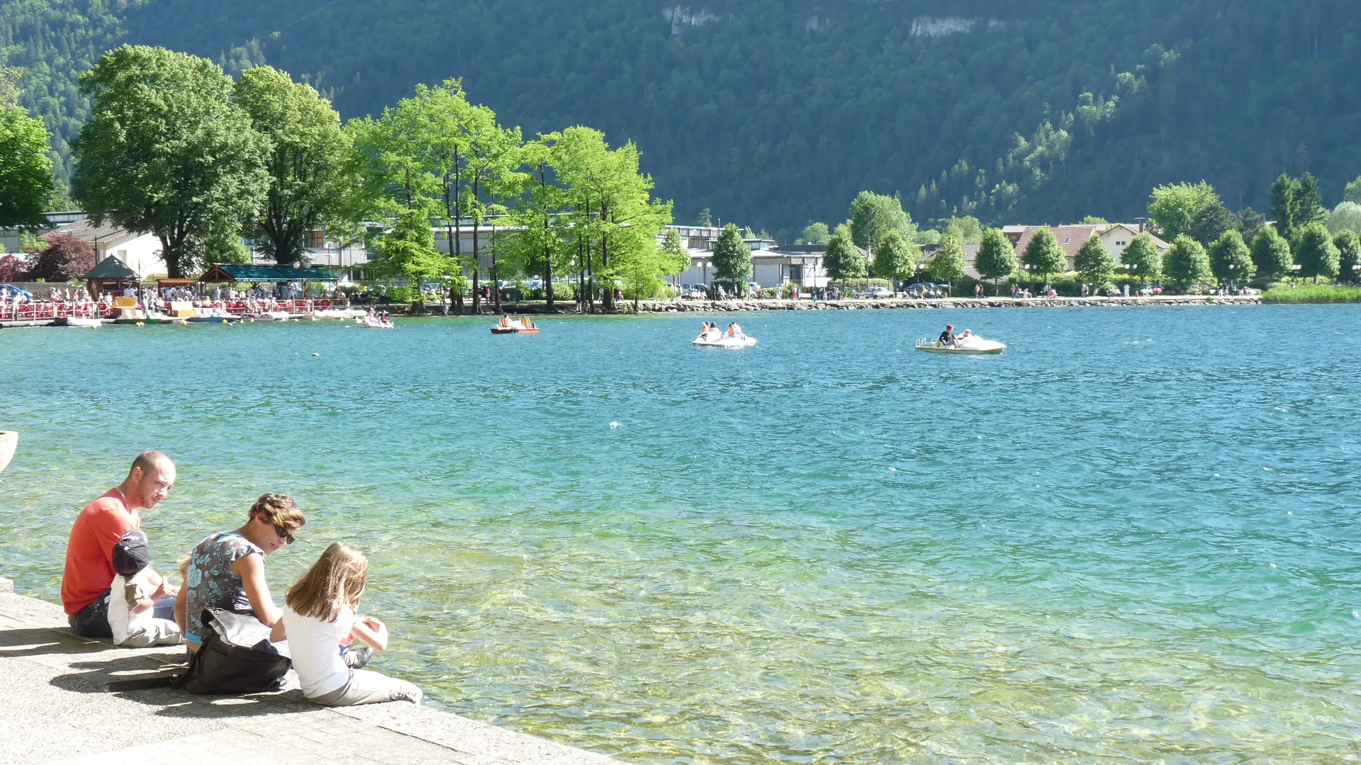
Whether by pedal boat, paddleboard, canoe, or sailboat, the scenery of Lake Nantua is constantly changing. Hike to the top of the cliffs for breathtaking panoramic views.
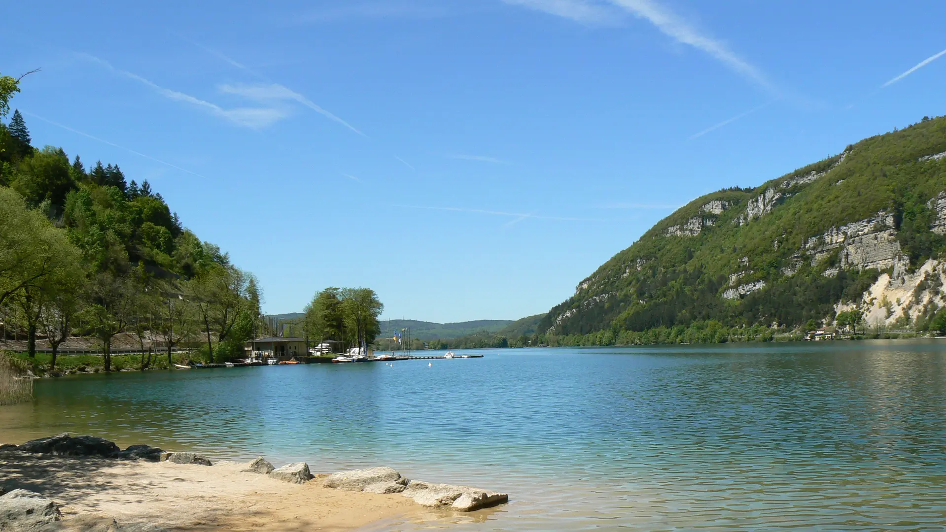
This natural lake covers 141 hectares and reaches a maximum depth of 43 meters. Protected since 1936, it can now be explored independently, with plenty of facilities to make your visit enjoyable: parking areas, picnic tables, and a grassy beach at Pré Gadgène in Montréal-la-Cluse or at Nantua.
In 2018, Lake Nantua was designated a Sensitive Natural Area (ENS) by the Department of Ain. These protected sites are managed to preserve their rich biodiversity while allowing the public to enjoy their beauty safely.
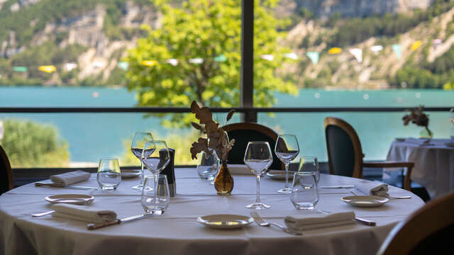
Activities abound: fishing, sailing, swimming, pedal boating, paddleboarding… and don’t forget to treat yourself at one of the charming local restaurants in town!