
Description
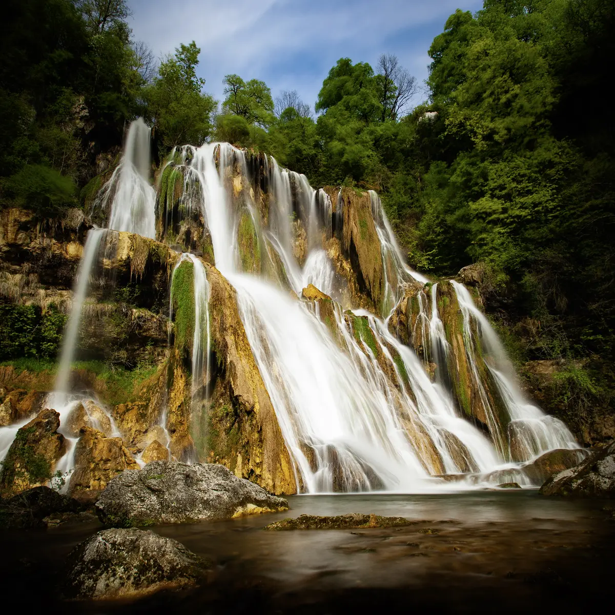
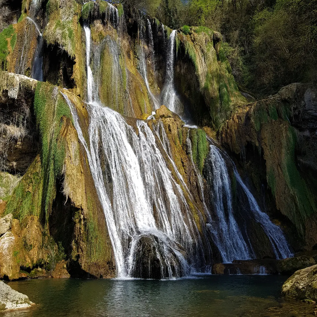
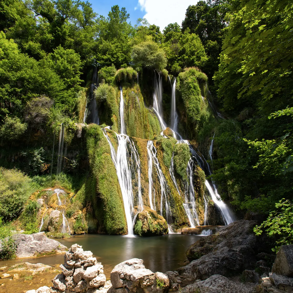
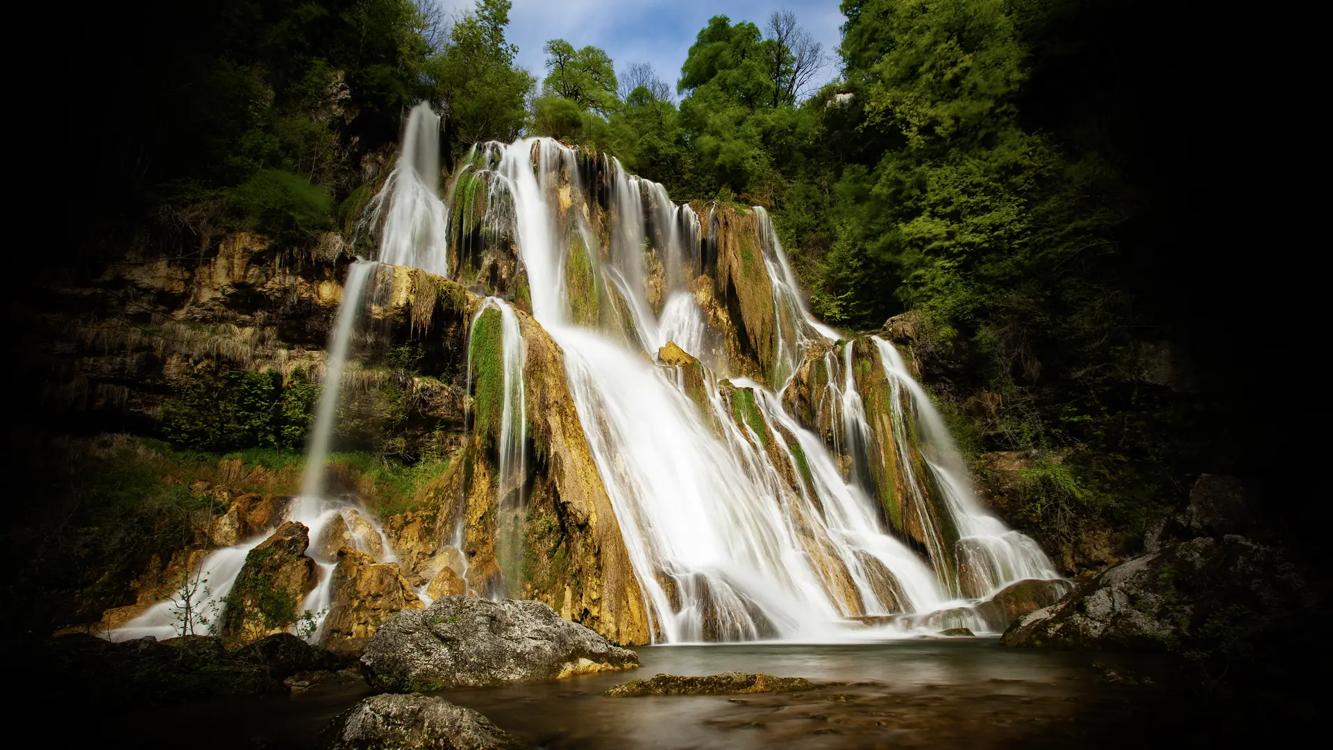
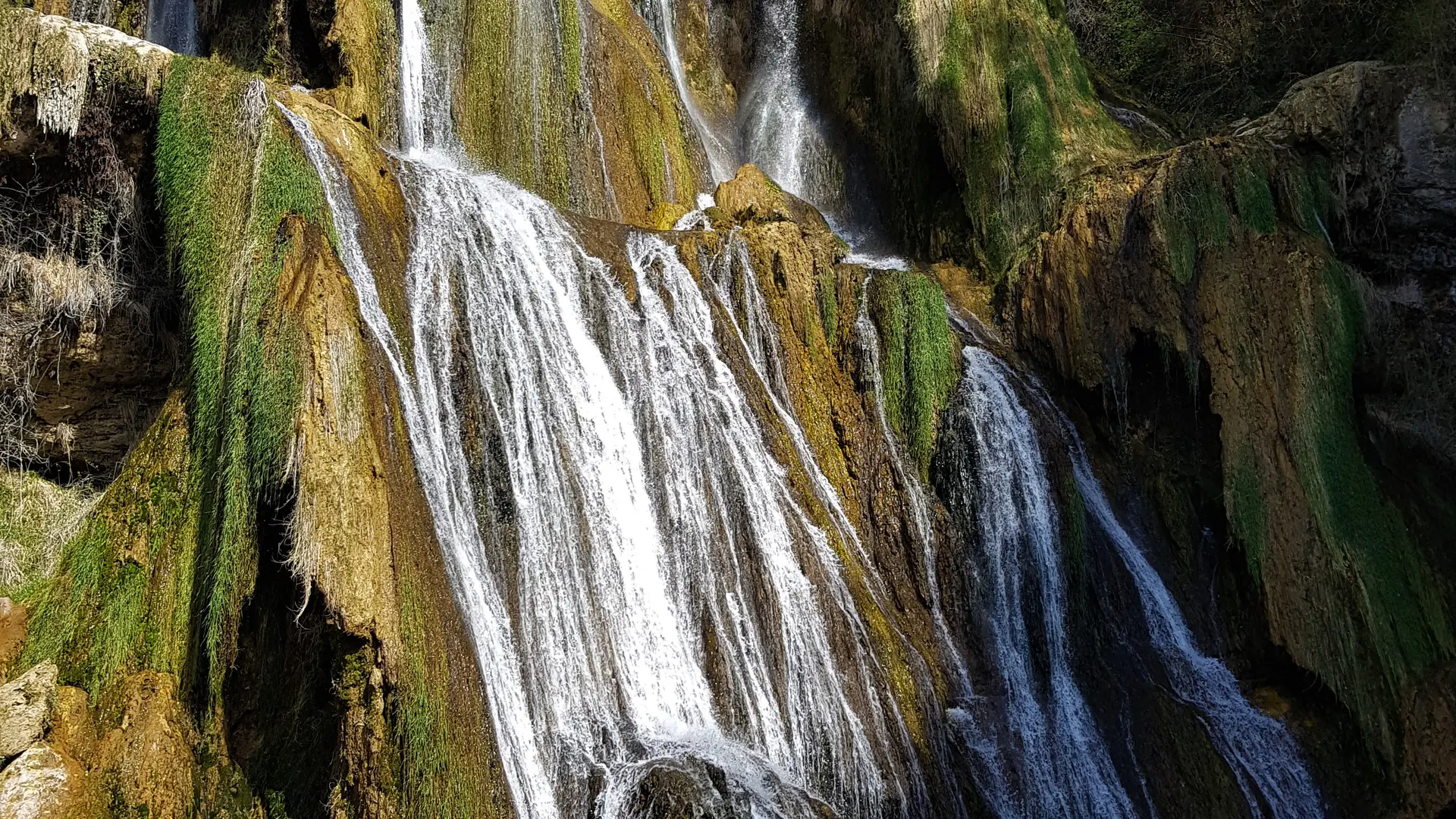
This waterfall, whose water gushes from a height of over 60 m, is classified as a "Sensitive Natural Area". It is open to the public all year round and can be admired from a special area. To preserve it, swimming, picnics and dogs are prohibited.
A remarkable photo spot year-round, the Glandieu waterfall is easily accessible.
Two parking areas have been created outside the hamlet. Parking is not permitted in the immediate vicinity of the waterfall.
Just a few minutes from the ViaRhôna cycle route, which connects Lake Geneva to the Mediterranean Sea along the Rhône River, the Glandieu waterfall is an unmissable detour along this cycling route!
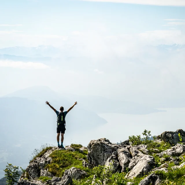
The Rhône-Guiers River loop is a 21 km cycling route suitable for hybrid bikes, mountain bikes, and gravel bikes, starting from the Cuchet lake in Murs-et-Gelignieux. Following the ViaRhôna cycle route for much of its length, it runs alongside the Rhône River in the Haut Rhône nature reserve and then the Guiers River as far as Saint-Genix-sur-Guiers. The Water Trail is a 7 km hike between the village of Brégnier-Cordon and the hamlet of Glandieu. Short but invigorating, this walk offers several panoramic views of the Rhône River and its nature reserve.
To protect the reserve, swimming, picnicking, and dogs are prohibited.
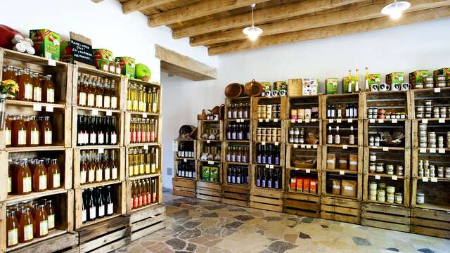
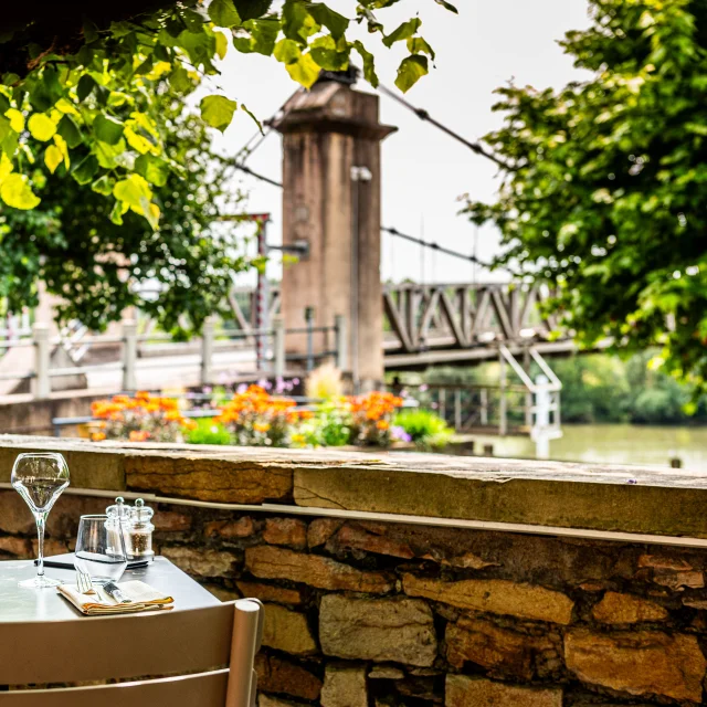
You can enjoy the view of the waterfall from the terrace of the Bistrot de la Cascade.